What was my most exciting trip?
What was my most exciting trip? Perhaps you think that is certainly difficult to answer on my many journeys around the world. But the exact opposite is the case. All I can think of is one trip that deserves this status. A trip I took years ago through the Northwest Territories of Canada. It takes me along the Yukon River to Dawson City and from there over the Dempster Highway to the Arctic.
In the footsteps of the prospectors from Whitehorse to Dawson City
It lasted two weeks, started in Whitehorse in the Yukon Territory, followed the Yukon River to the gold rush town of Dawson City. You think, “Wow! Great!" ? "Right," I answer you. “It was, too, as we were following in the footsteps of prospectors, fortune seekers and adventurers who used this trail from the coast and across the Yukon River into the Klondike country in the late 19s. There they hoped to get rich from the gold fields, but often found gold only with drudgery and little success. They were often able to buy the bare essentials with their gold nuggets because traders took advantage of the gold greed of greenhorns from all over the world. They came to the Yukon to make a profit.” Dawson City is the final supply stop before continuing to Canada's Northwest Territories.
On the trail of the prospectors in the Northwest Territories in Canada
But that was only the beginning of a journey that would take me to the Northwest Territories in Canada to the Arctic Ocean. The route between Whitehorse and Dawson City follows the course of the Yukon River. It always offers views of the river in northern Canada. The Five Finger Rapids are still reminiscent of the fate of the prospectors who moved through the rapids downstream to the Klondike. It's hard to believe that they conquered the river on their outrageous and self-built rafts, canoes or other water vehicles.
Encounters on the way
I remember our picnic in Minto right on the Yukon. We were kept company by a canoeist who came paddling down the river. As it turned out, he came from Munich. He had emigrated to the Yukon more than ten years earlier, where he and his wife had built a hut by the river in the middle of the wilderness. This can only be reached by canoe. He had come to Minto to buy his supplies of basic food like sugar, flour, salt, and other necessities. A trip he only took every few months in the summer. Not at all in winter, as he explained to us.
Dawson City is a must
After our stay in Dawson City, we completed the standard program. A stroll through the first capital of the Yukon, a visit to Diamond Tooth Gertie's Saloon, which already existed at the time of the gold rush, the view from the Midnight Dome of the confluence of the Yukon and Klondike Rivers and of course an attempt to buy gold from a bowl of river- Washing sand. Only then did our Nordland adventure begin.
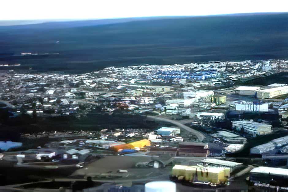
On the Dempster Highway to Inuvik in the Northwest Territories of Canada
The next leg of this journey took me via the Dempster Highway to Inuvik in the Northwest Territories in Canada. This highway is - with the exception of the "Trans-Labrador Highway“In Quebec and Labrador - the only road that leads from southern Canada to the far north of the country. I had already driven this highway in Canada's Arctic twice before. So it was nothing new to me.
Wilderness adventure on the Dempster Highway
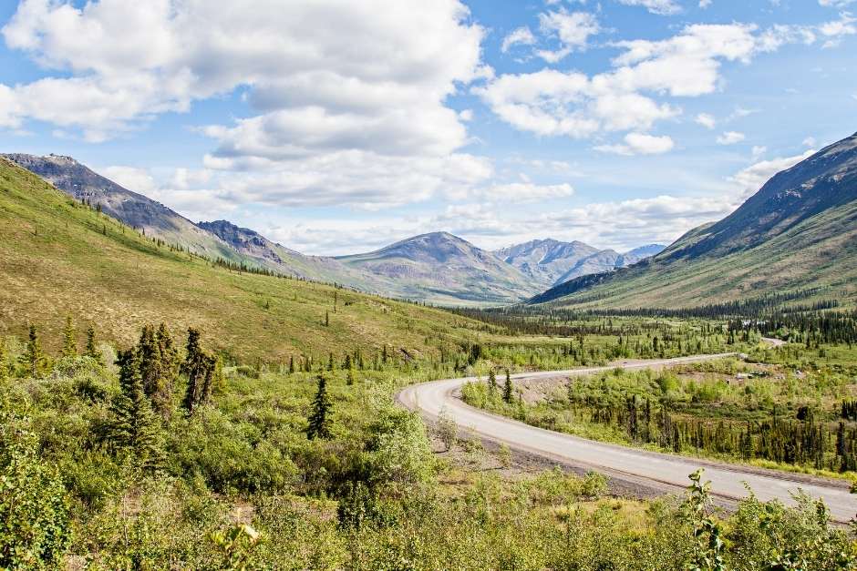
Still, every drive on the Dempster Highway is an adventure. The condition of the road depends on the weather conditions that prevailed just before or shortly before the journey north. I was lucky this time, and the highway was dry, if dusty. That means that we could see every vehicle, as rare as it was, from a long way off by the dust cloud it generated behind it. When it happened to us, we closed all the bulkheads (as far as possible) to keep as much of the fine road dust outside as possible. This does not work everywhere, and so we pull our luggage out of the trunk, completely encrusted with dust, halfway through Eagle Plains. Our first sign that the adventure begins in the far north.
The Dempster Highway leads into the Northwest Territories in Canada
The Dempster Highway is an all-gravel road that runs through permafrost and across two major rivers, the Peel and the Mackenzie River, from Dawson City to Inuvik, a town in the Mackenzie Delta that is primarily used as a base for the Arctic Ocean oil industry. From there, until a few years ago, the equipment was transported by the ice truckers to the oil platforms in the Beaufort Sea via ice roads in winter. However, since 2017 there has been an all-season road connecting Inuvik with Tuktoyaktuk on the Sea of Ice. They are just normal trucks that we encounter on the highway that supply Inuvik with all the necessities of life.
Eagle Plains - Stopover on the Dempster Highway
The Dempster Highway is particularly impressive because it leads through wilderness areas. There is nothing left or right of the road but forest, the peaks of the Tombstone Mountains or the range of the Richardson Mountains, which we see from Eagle Plains, the only stop on the way to Inuvik. There is just one road maintenance station in Eagle Plains to keep the road reasonably passable. There is also a motel where truckers, oil workers and we stay and one of the rare gas stations on this route.
Across the Arctic Circle to the Northwest Territories in Canada
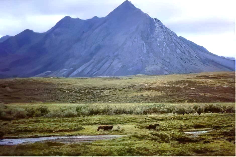
From Eagle Plains, the trees get lower and lower along the route. We are in the latitudes of the taiga. Then the trees disappear completely and we can only see the vastness of the tundra. Only a few kilometers north of Eagle Plains we pass the Arctic Circle, which is marked by an exit on the road. A sign explains what this imaginary line is all about. From here to the north, the sun no longer sets in summer, and it is light for 24 hours.
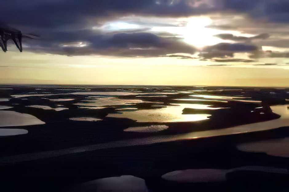
Across the Peel and Mackenzie Rivers to Inuvik in the Northwest Territories of Canada
With one exception, Eagle Plains is almost all downhill. While the rest stop is perched on the crest of a mountain range looking out to the horizon in both directions over the crippled trees of the taiga, a few miles beyond, the Dempster Highway descends steadily. Only one more climb as we near the border between the Yukon and the Northwest Territories. Again, a sign marks the border between these two territories, which is in the middle of nowhere. Just beyond, we look down on regions of tundra stretching far to the north. There's no sign of people here unless one of the rare vehicles on the highway sends its dust fountains into the air.
Two rivers - two ferries on the Dempster Highway
Our way to Inuvik is interrupted twice by the two rivers that we cross with free state ferries in summer. In winter, ice bridges connect the two banks. The ascent on these ferries is adventurous and suitable for these wild regions. There is no ferry station here where facilities compensate for the difference in height of the water in the rivers. Here the road simply ends in the water. The ferry presses itself as close to the bank as possible and the bridge is laid as flat as possible on the mainland. Depending on the water level, this works sometimes better, sometimes worse. And if you are traveling with a larger vehicle, it can happen that the bumper tears off when driving onto the ferry because the driveway is too steep (which actually happened to us on an earlier trip). But this time we are lucky and we cross the rivers unscathed.
Fort McPherson to Inuvik in the Northwest Territories of Canada
We make a stop in Fort McPherson, where we marvel at the dollar bills in the village bar, which are stuck above, on and under the counter. In the local cemetery we visit the graves of the "Lost Patrol", a winter patrol that had not found its way back from Dawson City to Fort MacPherson and was found in March 1911 on the tundra just a few kilometers from Fort McPherson. From here it is only a few hours until we finally reach Inuvik on the Mackenzie River through forests that emerge to the left and right of the road.
Our journey is on continue by plane to Tuktoyaktuk and Herschel Iceland on the Arctic Ocean.
Do you also know:
- Adventure Yukon - Canada's North
- On the way on the Dempster Highway
- At a lake in Ontario, Canada
- From Inuvik to the Arctic Ocean and Herschel Island
- The Trans Labrador Highway through the Canadian wilderness to Labrador
- New York hotels with the most beautiful views
Source: Research on site (this trip was not supported by anyone)
Text: Copyright Monika Fuchs and TravelWorldOnline
Photos: Copyright Monika Fuchs and TravelWorldOnline
